5 min read
Sols 4473-4474: So Many Rocks, So Many Textures!

Written by Susanne Schwenzer, Planetary Geologist at The Open University
Earth planning date: Wednesday, March 5, 2025
The Martian landscape never ceases to amaze me, there is so much variation in texture and color! As a mineralogist, I marvel at them, but my colleagues trained in sedimentology regularly teach me how to see even more than the beauty of them: they can discern whether the materials that make up a rock were transported and laid down by the action of water or wind. The image above shows a rather unusual texture alongside more normal-looking laminated rocks. Just compare the small, brighter block in the foreground with the darker bigger rock in the center of the image. How should we interpret it? Well, that jury is still out. Are they sedimentary textures formed when the rock first was laid down, or shortly after, or are they textures that formed much later when water entered the rock and formed new minerals in the already existing rock? The latter would be more my area of research, and they are often called concretions. And I vividly remember the first concretions a rover ever found, the “blueberries.” Curiosity, of course, found many concretions, too. There is an interesting comparison between rocks that the Mars Exploration rover Opportunity found, and the one that Curiosity found very early in the mission, back at Yellowknife Bay. We have seen many more since, and the above might be another example.
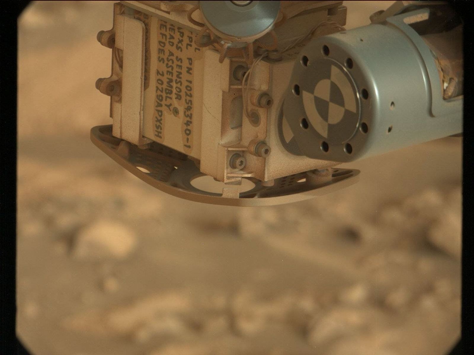
The landscape directly around the rover today also has some interesting textures and, most important, some more regular-looking bedrock targets. Bedrock is what the team perceives to be the rocks that make up the part of the hill we are driving through. The dark blocks, like the one above, that are also strewn occasionally in the path of the rover are called float rocks, and we always look higher up into the hills to find out where they might have come from. As interesting as all those blocks and boulders are, they pose a huge challenge for the rover drivers. Today, they had managed to get us all the way to the intended stopping point, which in itself is a huge achievement. A mixture of large rocks and sand is just not conducive to any form of travel, and I always wonder how tiring it would be to just walk through the area. But we made it to the intended stopping point, driving just under 20 meters (about 65 feet), as intended. Unfortunately though, one of the rover’s wheels was perched on a rock in ways that posed a risk of dropping off that rock during an arm move. So, as is usual in those cases, we accept that contact science is not possible. The risk would just be too great that the rover moves just at the wrong moment and the arm bumps into the rock that an instrument is investigating at that moment. So, safety first, we decided to keep the arm tucked in and focus on remote science.
The team quickly pivoted to add some remote science to the already existing observations. As you might imagine in a terrain as interesting as this, Mastcam did get a workout. There are seven different observations in the plan! It looks into the distance to the Texoli Butte we are observing as we drive along it, and at a target, “Brown Mountain.” Looking into the many different features are also imaging activities on the targets “Placerita Canyon,” “Humber Park,” and two others just named “trough,” which is a descriptive term for little trough features the team is tracking for a while with the quest to better understand their formation. ChemCam has a LIBS investigation on target “Inspiration Point,” and two long-distance RMI (Remote Micro Imager) observations. One is truly at a long distance on Gould Mesa, another of the mounts we are observing as we go along. There is another RMI activity closer to the rover, to investigate more of those very interesting structures.
We also have environmental observations in the plan, observing the opacity of the atmosphere and of REMS investigations are occurring throughout the plan. REMS is our “weather station” measuring atmospheric pressure, temperature, humidity, winds, and ultraviolet radiation levels. DAN looks at the surface to measure the water and chlorine content in the rocks that the rover traverses over and RAD is looking up to the sky to measure the radiation that reaches the Martian surface. We do not often mention those in our blocks, because we are so used to seeing them there every single sol, doing their job, quietly in the background.
With so much to do, the only remaining question was where to drive. That was discussed at length, weighing the different science reasons to go to places along the path, and after much deliberation we decided to go to one of the float rocks, but reserve the option to make a right turn in the next plan, to get to another interesting place. All those discussions are so important to make sure we are making the most of the power we have at this cold time of the year, and getting all the science we can get. I am excited to see the data from today’s plan… and to find out where we end up. Not with a wheel on a rock, please, Mars — that would be a good start. But if we do, I am absolutely confident there will be lots to investigate anyway!