3 min read
Curiosity Blog, Sols 4655-4660: Boxworks With a View
Written by Sharon Wilson Purdy, Planetary Geologist at the Smithsonian National Air and Space Museum
Earth planning date: Friday Sept. 12, 2025
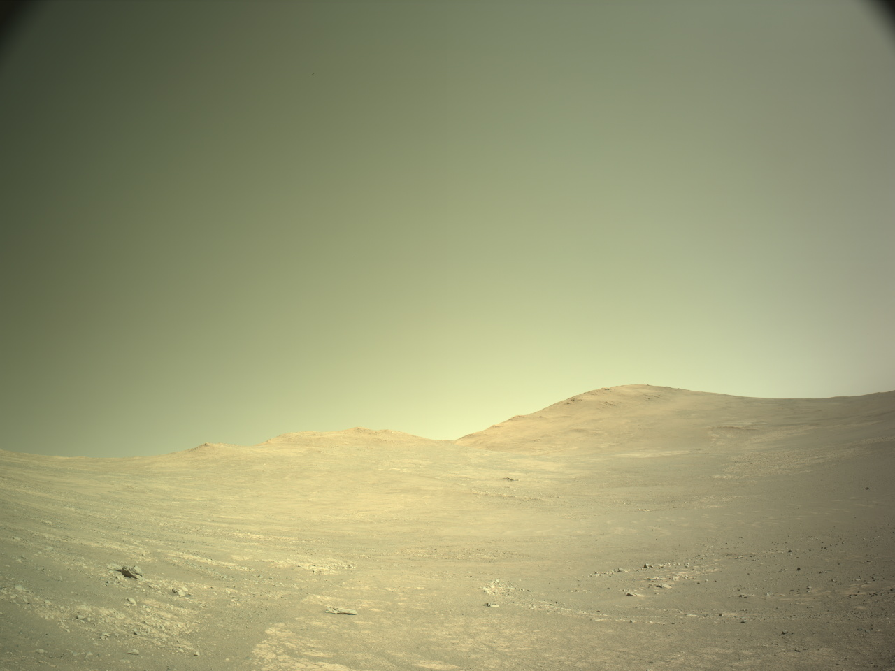
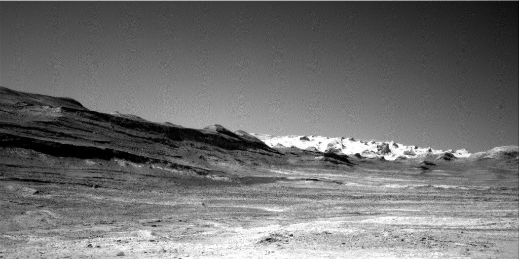
Curiosity continues to image, analyze, and traverse through a landscape characterized by higher standing ridges separating low-lying depressions (hollows) — a surface known as the boxwork terrain on Mount Sharp. The science team is actively characterizing the texture, chemistry, and mineralogy of the ridges and hollows to understand how this surface formed and changed over time. I served as the Geology theme group “Keeper of the Plan” for Sols 4656-4657 where I compiled the details for each scientific activity that will be carried out by the rover. I selected the particular Navcam image accompanying this blog post because it not only shows the intriguing boxwork terrain beneath our wheels but also highlights the striking wind-sculpted yardangs on our exciting route ahead.
Our successful drive over the weekend set us up nicely to investigate the bedrock ridge in the workspace directly in front of the rover on Sol 4655. The target “Chango” was selected for closer inspection with the dust removal tool (DRT) and APXS and MAHLI instruments. ChemCam used its LIBS instrument to analyze the chemistry of a bedrock ridge at the “Quechua” target, and Mastcam and ChemCam included several mosaics to document walls of nearby hollow interiors, fractures, and the hollow-to-ridge transitions.
The plan for Sols 4656-4657 focused on a variety of remote sensing activities including a 360-degree mosaic by Mastcam — one of the most spectacular data products! ChemCam investigated the local bedrock and a raised resistant bedrock feature at “Chita” and “Chaco,” respectively, and then turned its sights to the distant floor of Gale crater to image features that may have formed when water eroded material from the interior walls of the crater rim.
Planning on Friday for Sols 4658-4660 included three targeted science blocks to dig deeper into the boxwork unit. ChemCam LIBS will analyze the bedrock at targets “Tarata” and “El Sombrio” and a rock that does not look like typical bedrock at “Cobres.” The Mastcam team assembled multiple images and mosaics that will help decipher the distribution of veins, fractures, and nodules (somewhat rounded features) in the bedrock, as well as small sand dunes in and around the workspace. The environmental theme group worked throughout the week to monitor clouds and dust-devil activity, and planned Mastcam tau observations to assess the optical depth of the atmosphere and constrain aerosol scattering properties.