2 min read
Curiosity Blog, Sols 4624-4626: A Busy Weekend at the Boxwork
Written by Alex Innanen, Atmospheric Scientist at York University
Earth planning date: Friday, Aug. 8, 2025
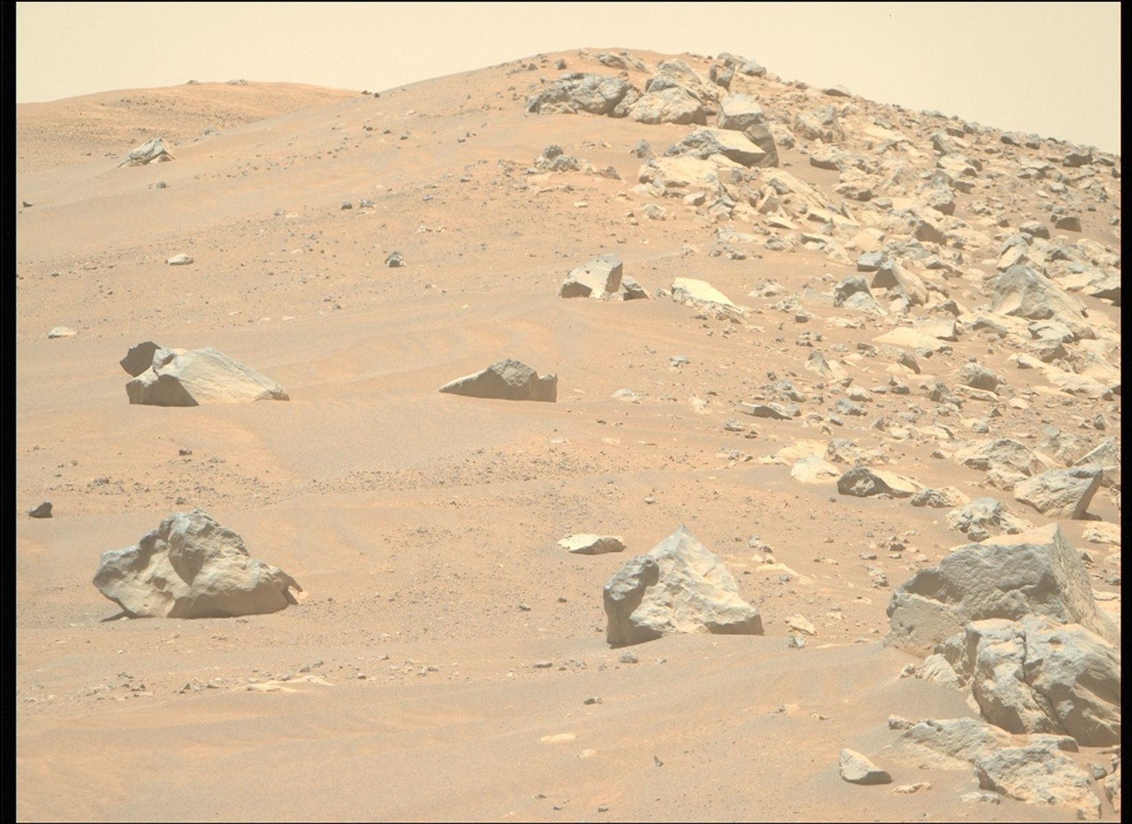
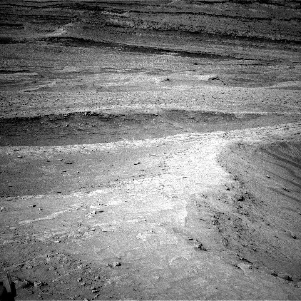
We continue to progress through the boxwork structures, arriving today at the “peace sign” ridges we were aiming for in our last drive. We’re spending the first two sols of the weekend at this location, learning everything we can about the boxwork ridges all around us. Then we’re driving further along and spending our third sol at our next location doing a bit more untargeted science.
Our first sol includes three contact science targets, “Palmira,” “Casicasi,” and “Bococo,” which both MAHLI and APXS will be checking out nice and close. ChemCam is also using its LIBS laser to check out Bococo, and taking a mosaic of some more distant boxwork ridges. Not to be left out, Mastcam is taking a mosaic of the intersecting peace-sign-shaped ridges, which have been given the name “Ayopaya,” as well as another mosaic of the edge of one of the nearby ridges. The environmental science group (ENV) is also taking a dust-devil movie and a surpahorizon cloud movie.
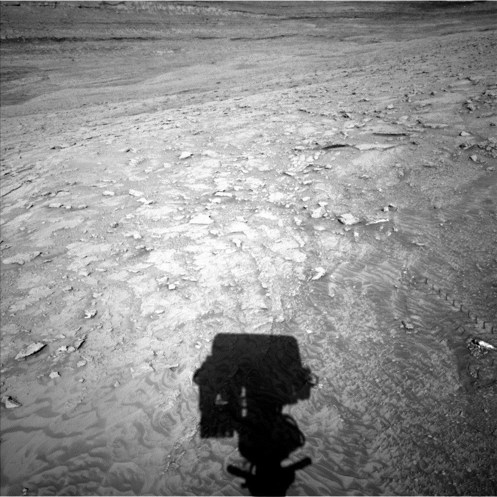
On our second sol, ChemCam has another LIBS observation of “Britania.” Mastcam has some more mosaics, today looking back at our wheel tracks to see what we might have turned up on our drive, as well as out to the more distant ridges. We also have another cloud movie coinciding with imaging from above by the CaSSIS camera on board the Trace Gas Orbiter, trying to spot the same clouds from above and below. After our drive Curiosity gets to take a nice long snooze before waking up early for our typical weekend morning ENV block, which includes three different cloud observations (it’s still the cloudy season, after all!) and two observations to look at dust in the crater and in the sky above. Later on this sol ChemCam will use AEGIS to autonomously pick a LIBS target, we’ll have a 360-degree survey to try to catch dust devils. Finally, we’re setting our sights back on the clouds, using cloud shadows on Mount Sharp to estimate cloud altitudes.